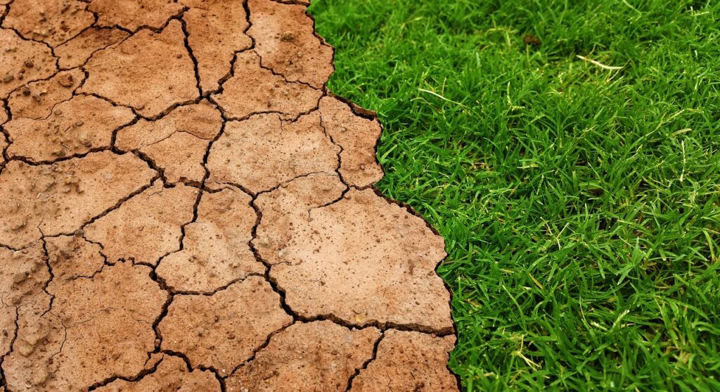
global, warming, climate-3371528.jpg

Mapping Drought from Space – Part 1

2023 has been a landmark year for extreme weather around the world. Globally, there’s been deadly tropical cyclones and hurricanes, devastating floods, deadly cold snaps, record breaking ocean heat, and more. Here in Canada, a combination of severe heat waves and scarce precipitation have led to the worst wildfire season on record. Over 18.5 million …

Mapping Drought from Space – Part 1 Read More »

several assorted-color glass frames

Sparkgeo @ FOSS4G

Another international Free and Open Source Software for Geospatial (FOSS4G) event has come and gone. Thanks to OSGeo and the local organizing committee for organizing an event that brought many like-minded people to such a beautiful country. The conversations ranged from fundamental geospatial concepts like projection math to applied use cases like conflict mapping. Sparkgeo …

Sparkgeo @ FOSS4G Read More »

N51 and ARD

I recently had the opportunity to attend two enlightening conferences: N51 and ARD. Both revolved around the complex and diverse realm of geospatial data. While each had its unique perspective, they shared a central theme: the potential and importance of geospatial data and time.

a brick building with blue doors and windows

Introducing BNG Co-Pilot

We are thrilled to announce the development of the BNG Co-Pilot, an innovative platform for Biodiversity Net Gain (BNG) assessment supported by the Taylor Geospatial Institute (TGI) and Amazon Web Service (AWS). This groundbreaking initiative applies Generative AI and advanced geospatial analytics to address the complexities of ensuring that land development projects in the UK …

Introducing BNG Co-Pilot Read More »

pigeons, flock of birds, flying-5277317.jpg

Sparkgeo’s Design Principles

Have you ever got a really good piece of life advice from your dad? Something along the lines of Good intentions matter, but your actions will define you.That’s basically what a design principle is, but instead of your dad, it’s a designer. And instead of advice about life, it’s about the thing you’re building.

A nice picture of a duck

A DuckDB-Wasm Web Mapping Experiment with Parquet

We’re going to talk about a DuckDB-Wasm web mapping experiment with Parquet. But first we need some context! Common Patterns Every application is different, and most architectures are unique in some way, but we sometimes see common patterns repeated. The diagram below shows a common pattern in web mapping. Figure 1: A common high-level architecture …

A DuckDB-Wasm Web Mapping Experiment with Parquet Read More »

Pink and blue tiles with flowers painted on them.

Map Tile Identification: A New Addition to your Toolbox

At Sparkgeo we don’t just make maps. We address a range of geospatial challenges and pursue the most appropriate solutions with an open and independent mindset. Those solutions sometimes produce pixels. Those pixels are often served over a network. We’re always striving to improve how we develop, test, and support our solutions. As part of …

Map Tile Identification: A New Addition to your Toolbox Read More »

background, rainbow, sound-313415.jpg

Map-to-Speech: A Method for Making Web Maps More Accessible

In a world where geospatial technology continues to evolve, we try to place ourselves at the intersection of innovation and inclusivity. We often imagine a map as a visual guide, but there are opportunities to make this information more accessible to everyone, including those with visual impairments. Today, we explore the concept of map-to-speech technology, …

Map-to-Speech: A Method for Making Web Maps More Accessible Read More »