mapping

Geospatial Technology for Flood Monitoring

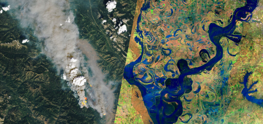
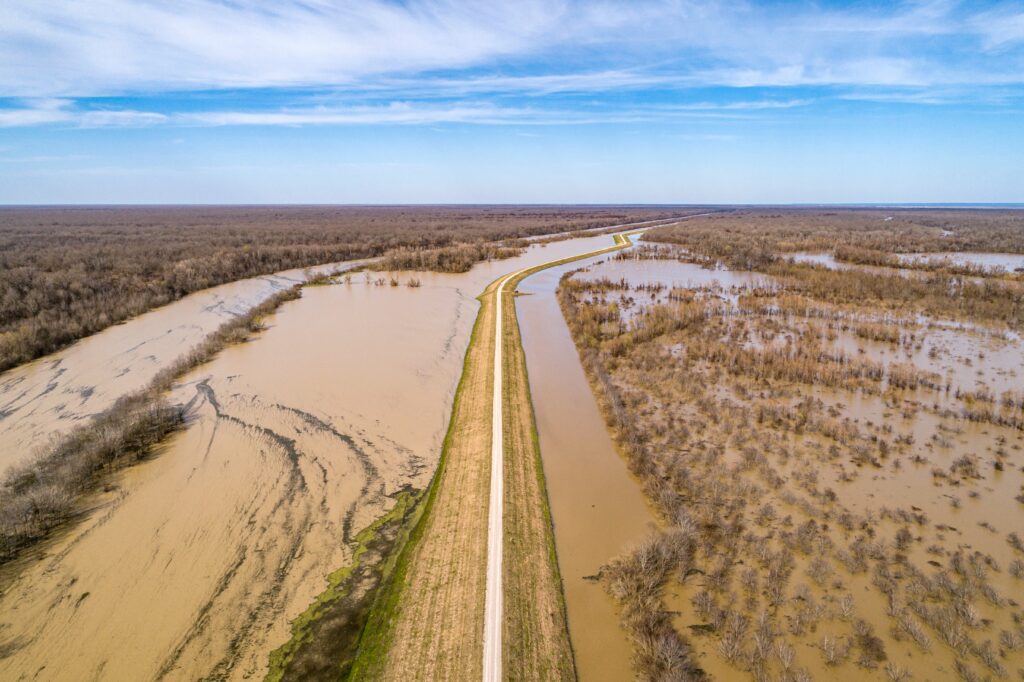
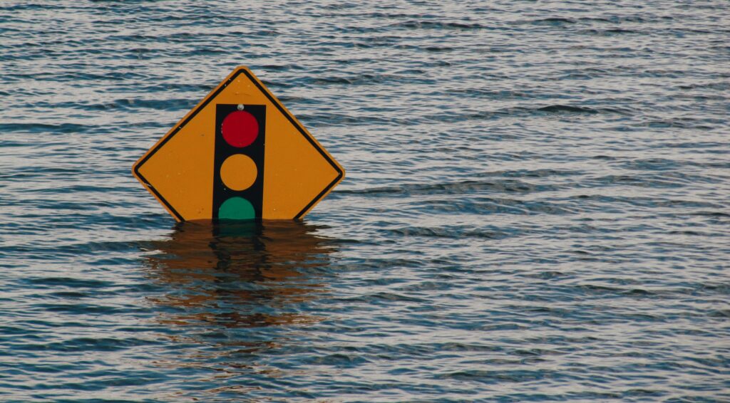
Time-lapse of the November 14 atmospheric river event, acquired by the GOES-17 satellite On November 14, southern British Columbia experienced the devastating effects of an “atmospheric river” – a narrow band of enhanced water vapour transport that flooded the Fraser River basin. This atmospheric river event broke 20 rainfall records across British Columbia. The city …

Geospatial Technology for Flood Monitoring Read More »

Our Mapbox Services Partnership

For us, geospatial has always been about the consumer, or commercial applications. For this reason, we use Mapbox tools and services. Their technology is thoughtfully designed and enormously scalable, perfect for consumer consumption. Sparkgeo is proud to reiterate our commitment to consumer geo through our partnership with Mapbox.

gray conveyor between glass frames at nighttime

Prescient Computing

Our community is perfectly positioned to evolve from analyzing landscapes retrospectively to looking forward. The next ‘killer app’ for geospatial isn’t an app at all, it’s probably the future.

Maptiks Map Analytics Demo

As we all know, a demo is worth at least a thousand words. earlier this week I put together this client side demo to help our clients get the feel of the kind of things we can do with Maptiks. I wanted to share it with all our Sparkgeo friends too. Welcome to the future […]

A Multi Season Trail Map with Mapbox and CartoDB

A trail map is seemingly so simple. But, to create a really ‘good’ trail map we need to consider a few key things: 1) Seasonality – your map needs to tell the story of the adventure in hand. For instance a skiing or showshoeing trail should feel cold and wintery. In this case we needed […]