
Asset Assumptions & Diligence
With new EU regulations there is a need to discover and map assets, then assess their climate related risks and impacts. The problem is, most companies will fall at the first hurdle: asset discovery.
With new EU regulations there is a need to discover and map assets, then assess their climate related risks and impacts. The problem is, most companies will fall at the first hurdle: asset discovery.
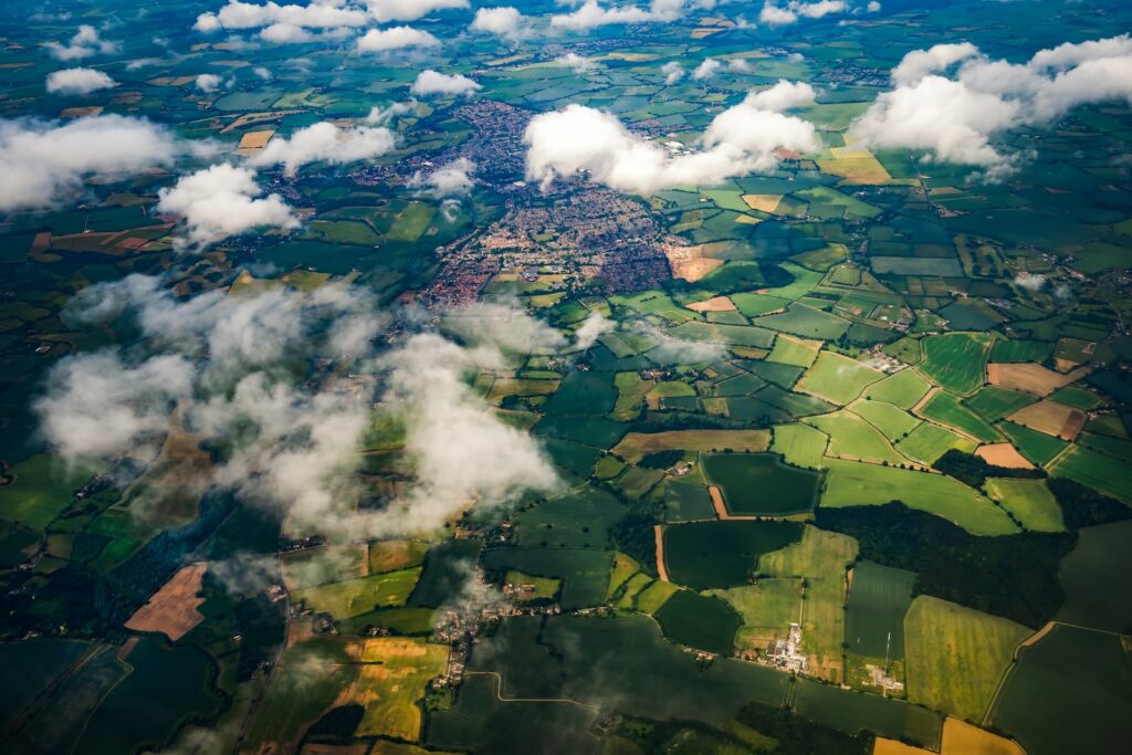
I recently had the opportunity to attend two enlightening conferences: N51 and ARD. Both revolved around the complex and diverse realm of geospatial data. While each had its unique perspective, they shared a central theme: the potential and importance of geospatial data and time.
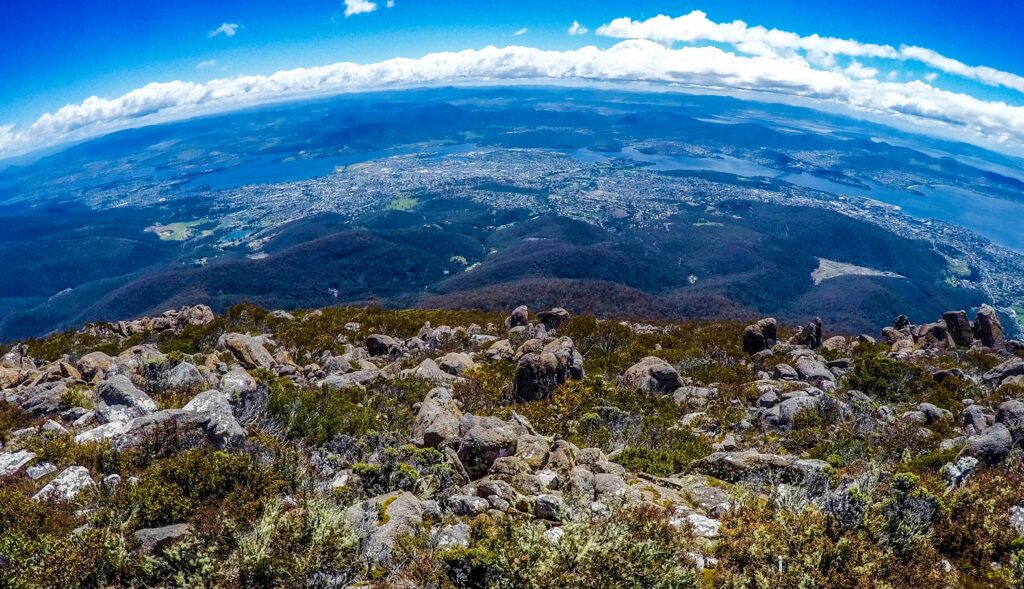
Joe Morrison of Umbra joined Sparkgeo’s CEO, Will Cadell, to talk about the future of commercial SAR. During the conversation, Morrison discussed what he believes is a very promising use case for satellite imagery – mobilization, which involves monitoring change over time.

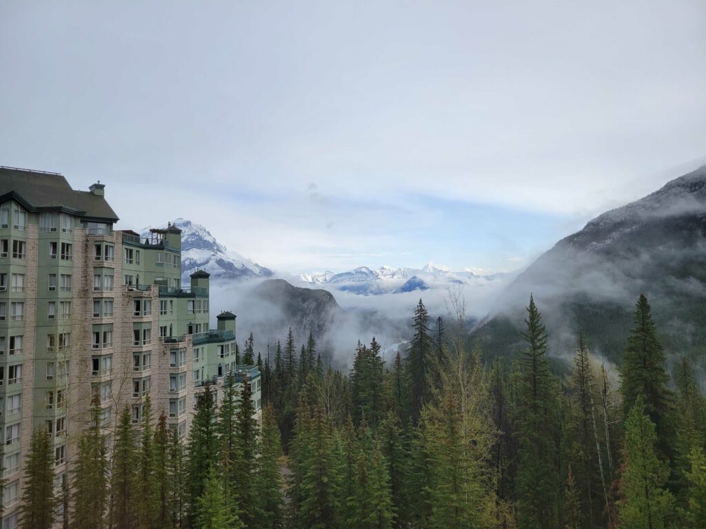
Sparkgeo is very excited to be co-hosting N51 in Banff this year. Come and let the scenery take your breath away, while N51 stimulates your geospatial ideas.

The UK “free and open-source software for geo” (FOSS4G) community came together on November 17th to celebrate PostGIS Day.

In this post, we expand on moving beyond the maplibre example in Flatgeobuf to writing a custom source component using react-map-gl.

Here at Sparkgeo, while we often prefer to provide answers over visualizations, we still make a lot of web maps. And when we do, we take pride in producing high-quality cartographic products. Cartography is a vast subject, encompassing everything from overall page design to the smallest detail in typography. The representation of geographic features with …

Prototyping and Python are big parts of what I do at Sparkgeo, so when PyScript was announced at PyCon US 2022, I was all ears. PyScript, along with WebAssembly and Pyodide, enables us to run Python directly in the browser, without the explicit need for our own APIs or servers. JavaScript (JS) will surely remain …
In this post we describe the process of taking a federal Canadian dataset and creating a SpatioTemporal Asset Catalog (STAC) using python.

Whether its reporting environmental impact, supply chain reporting, etc., properly analyzing physical assets is difficult. Geospatial technology is necessary for accurate asset data.