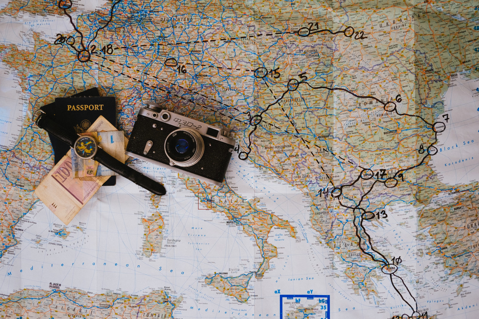
Maps are used everyday. We use them for navigation; we use them for planning; we use them for visualizing and comparing places. We take them largely for granted. More so we take their content for granted.
“Well, of course it’s right…!?”
The thing is, the world is always changing, and often maps don’t keep up. It takes work to keep a map fabric up to date. Take, for instance, the Google Maps (http://www.maps.google.com) product. This is arguably one of the most commonly experienced mapping formats. Google spend a great deal of time and money on their “Ground truth” program. This is a program which actually sends people in vehicles out into the field to check features actually do exist, as well as leveraging automated checks, there is actually a human checking too.
Another of Google’s programs is Map Maker, which allows community members to update the map fabric directly. This program has been around for a few years but is still not well known. To ensure quality, communty members are asked to check the work of each other, thus 2 or 3 pairs of eyes see each change. A “mapUp’ is an event were a number of mappers meet up in a single place or virtually to map as a group.
Prince George, to my knowledge, has not hosted one of these events before. Sparkgeo is proposing to hold one at the Tourism Prince George office on December 6th. We are planning to focus this event on mapping some of the better known trails around the town, highlighting our recreational ameanities. Things like the greenway, Otway ski center, the LC Gunn trail etc
We would love YOU to join us!
