Blog
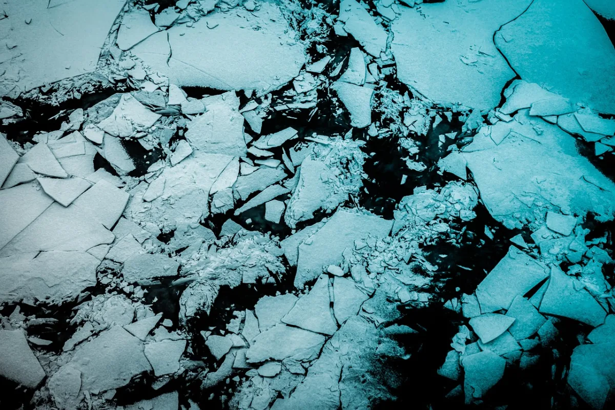
Teaching a Foundation Model to Read SAR and Classify Arctic Sea Ice Concentration
Sea ice concentration mapping is currently a manual craft. National ice services such as the Canadian Ice Service (CIS) and the U.S National Ice Center have analysts look at synthetic aperture radar (SAR) imagery, hand-draw polygons around regions of similar-looking ice, and assign each polygon a concentration value on an arbitrary scale. It works, but…


Latest Posts