Innovation strategy for unsettled markets and planets
This is the third in a series of posts accompanying Will Cadell’s keynote for the GeoIgnite Conference, Winter Geo 2022.
PATTERNS OF APPLICATION
Let’s quickly explore what combinations of those assets now mean for our community.
-> We can access massive data flow that describes the changing face of our planet.
-> We have the algorithms to discern what those changes might actually be.
-> We have the infrastructure to be able to pipe that massive data flow around
-> We have open standards which allow for cross-pollination between those massive datasets, or better yet, their derivative products: multiplying our potential opportunities further.
Closed standards are anti-innovative, open standards open minds.
With this model, we have the ability to let algorithms do more of the work. I have spoken to at least two satellite companies that have “an algorithm” as one of their product personas. Being delivered an image every day is an enormous opportunity, but that product as described is the nightmare of every GIS analyst. So, imagine being delivered with an image several times a day which is the logical innovation evolution? Instead, we should consider insurance models, the algorithms are looking after your welfare and will kick in if necessary: if something has changed. The analyst doesn’t need to look at anything unless it is necessary.
But this further implies several business model necessities:
1. That recent imagery is always readily available
2. That pixels from across a constellation are normalized
3. That algorithms can access that imagery in a structured way
4. Pixels for algorithms are priced reasonably and differently from eyes
5. Pixels can be touched by algorithms without the need for their download
6. Locations are subscribed to, rather than images bought
CHANGING PRODUCTS
This last point is deeply nuanced but critical. When we consider the product of Earth Observation, it is not wavelengths or arbitrary collections of colourful squares. The product of EO used to be “awareness“; situational awareness. It is now “change“; dynamic, high-frequency change.
And that is why we are better positioned to tackle planetary scale challenges than we have ever been.
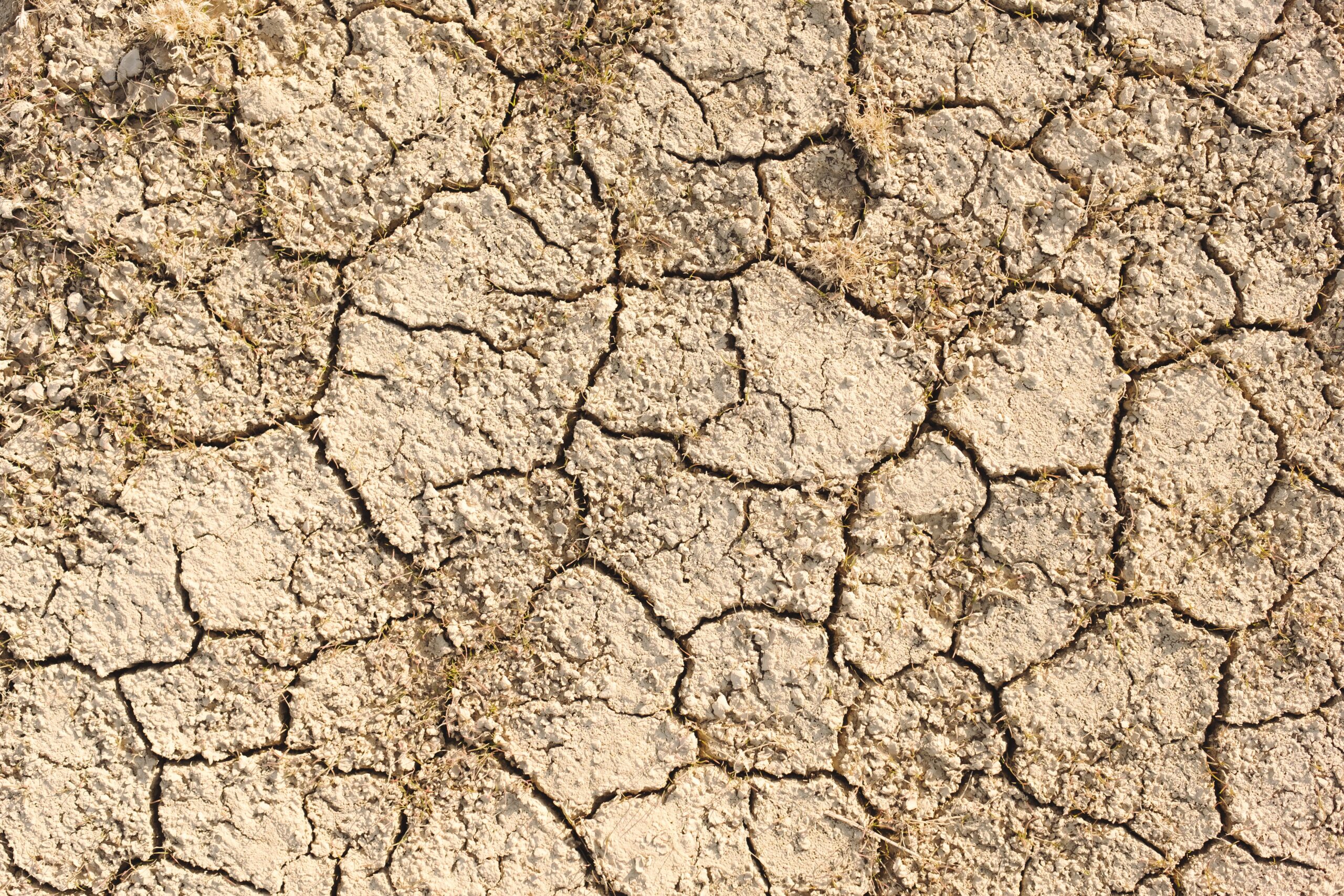
We are just in time though. In the last nine months in British Columbia, we have had heat domes, wildfires, atmospheric rivers, polar vortexes, massive landslides and catastrophic flooding.
And, critically some of these events are linked. In fact, some of our recent work points at a link between wildfire, slope instability, and ultimately flooding. So yes, a heat dome, can cause flooding.
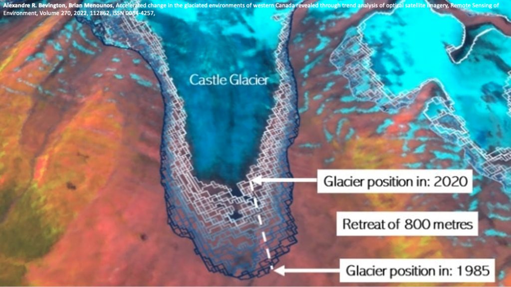
A study completed by Alex Bevington and Brian Menounos of UNBC suggested that given the accelerated rate of melting, glaciers could possibly disappear from the Rockies in about 70 years. Meanwhile, in Saudi Arabia, extreme heat is a growing problem that will likely deplete their further scarce water reserves further. Water, its presence and absence, will continue to cause strife, and this is absolutely a global problem. A planetary problem.
But if we are to think more deeply about scale here, can we provide an indication of climate risk for every homeowner, every asset manager, every mortgage lender? I think we can, and this example is really just a rather obvious tip to our modern geospatial iceberg.
My friends, ours is a practice in flux, and our market has been unsettled, even rejuvenated. But our choice is clear: we can choose to pick up the gauntlet thrown at our feet by our changing climate, or we can choose to ignore it and diminish.
I believe we can provide clarity and technical expertise, and if we can, then we must.