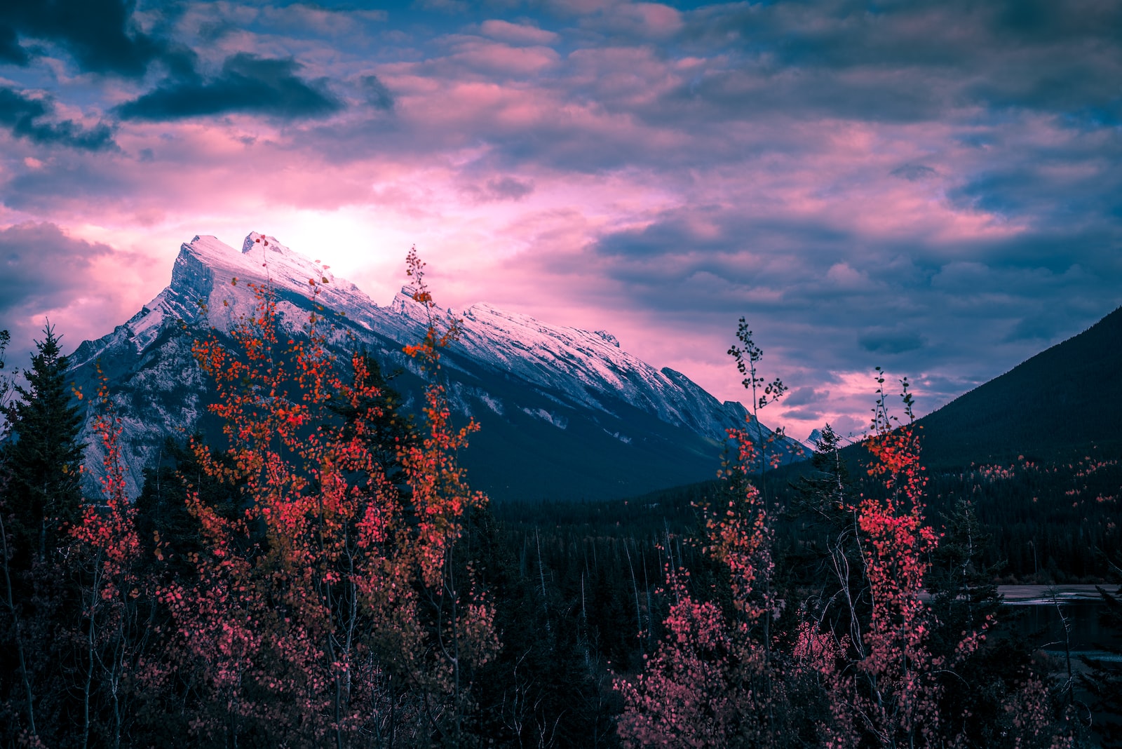
I’ve always been a fan of the Bow Valley. Loosely, it joins Canmore to Lake Louise, and for those who enjoy mountain vistas, it is one of the most stunning places on our planet. Also, it is an area that is about a day’s drive* from where I live in BC. Obviously, when I heard Tecterra was starting a geospatial event in Banff, I was all in. Banff is snuggled right into the heart of the Bow Valley, surrounded by high peaks with precipitous faces. The first N51 was in 2018.
Tecterra has been a huge supporter of geospatial technology. Sparkgeo grew closer with Jon Neufeld and the Tecterra team through the organization of FOSS4G2020. That event was ultimately cancelled due to COVID. But the process highlighted to me this team’s competence around event management, and their excitement for geospatial technology was tangible. Additionally, Jon & co.’s willingness to look deeper into geo, identifying the value of open-source technology as a foundational force for our community, showed a deep alignment with Sparkgeo’s core value of curiosity.
Since that first N51, I have been a regular attendee, sponsor, and occasional speaker. Hearing that, in the face of a complicated funding environment for Tecterra, this event was to be abandoned was a jolt. But as a good entrepreneur should, I saw the opportunity. Sparkgeo getting involved was an obvious move for my team, and we are exceptionally glad to co-host this event with Jon in his new role as President of IO Aerospace and Partner in Gno-Sys.
N51 is a forum for sharing geospatial ideas and colliding innovative approaches. This kind of focused yet multi-disciplinary event provides a crucible for testing assumptions and raising awareness. Don’t come to sell; come to build. I haven’t seen this kind of vendor-agnostic, international, geospatial thought leadership meetup on my travels before. So, let me invite you and your team to come to Banff: let the scenery take your breath away, and let N51 stimulate your geospatial ideas.
*Cultural Note: Canadians measure road distances in time and conditions. But, this is an inexact method: a “day’s drive” could be anywhere from 700-1200 km, or 8-10hrs of driving depending on “the roads.” “The roads” is a clause that refers to road conditions which could be snowy, icy, potholed, busy, beary, moosey, or clear. This clause is usually followed by a dramatic pause for emphasis; the length of this pause depends on the severity of “the conditions.” Think of this as strategic ambiguity, allowing the author to subtly humble brag about distance or driving speed, neither of which are really very braggy, to be honest. A long drive is just a long drive.