
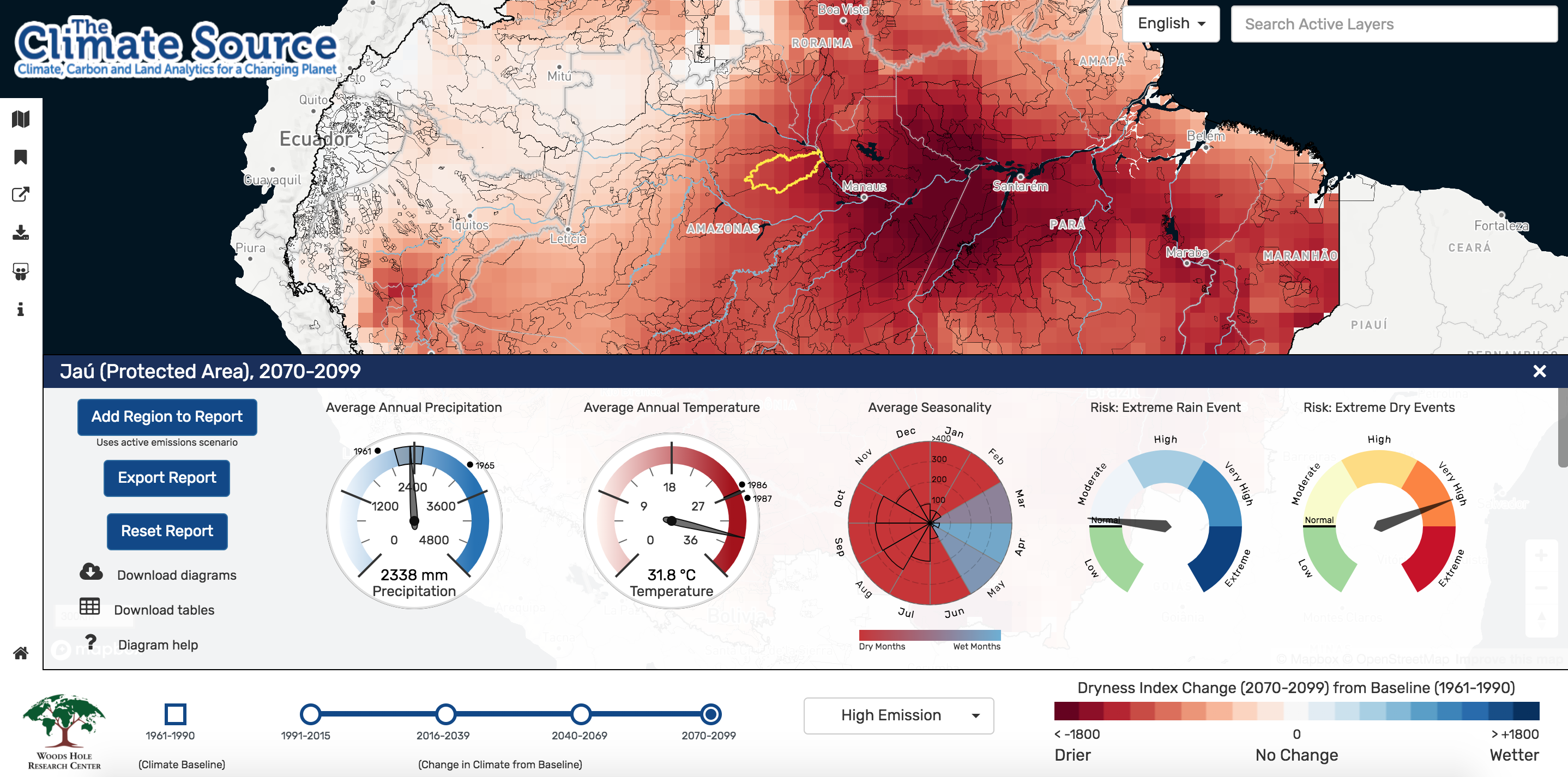
Over the last few months we have worked closely with the Woods Hole Research Center to build The Climate Source. The Climate Source provides a single online resource for access to contextual climate data for managers of protected areas and indigenous lands in the Amazon basin. This access includes the ability to download data for specific regions or to compile reports based on varying future climate scenarios.
Leveraging Vector Tiles
With nearly 800 protected area polygons and 4400 indigenous land area polygons we experienced initial issues with loading massive geojson files. Converting our data into vector tiles gave us three major benefits. First we were able to minimize our file size load into our webmap. This, in turn, allowed us to get a prototype up and drive our user experience discussion for the rest of the application. Lastly, it allowed us to ship much of our attribute data alongside our spatial data to the front end, effectively removing the need for an attribute based API.
Mapbox GL and Vector Tiles, To Go
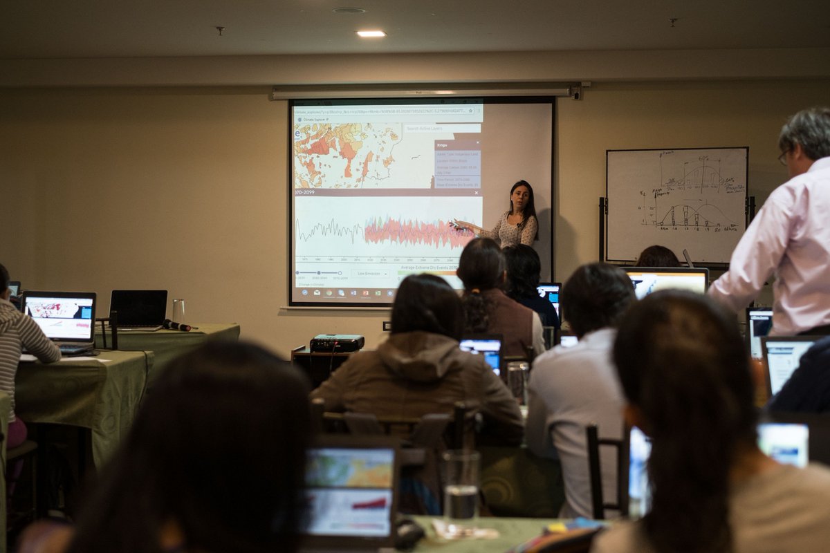
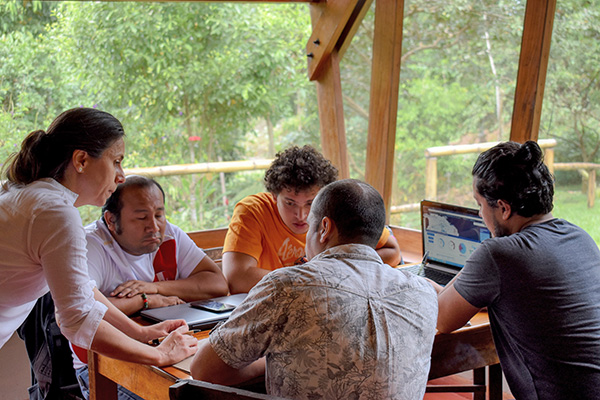
The Woods Hole Research Center and their scientists used the application to deliver training sessions in cities and towns across the Amazon basin. Area managers were travelling to these training sessions to collaborate on solutions using climate data and The Climate Source. However, there was the risk of slow or no internet connection. Fortunately, we could package Mapbox GL and our vector tiles into a self contained Docker container. We then provided training to the seminar leaders on how to use Docker to create an instance of an offline version, and, with a router, convert their laptop into it’s own local area network accessible server. This allowed scientists at the Woods Hole Research Center to schedule their training seminars with confidence.
Communicating a Changing Earth
As organizations continue to build an understanding of our changing Earth through analytics, the need to build capacity in visualizing and sharing this information increases. At Sparkgeo we are excited to help organizations communicate and build capacity through digital tools. Reach out to us online to continue the discussion on portals, data, and all things mapping, and be sure to explore climate data via The Climate Source.