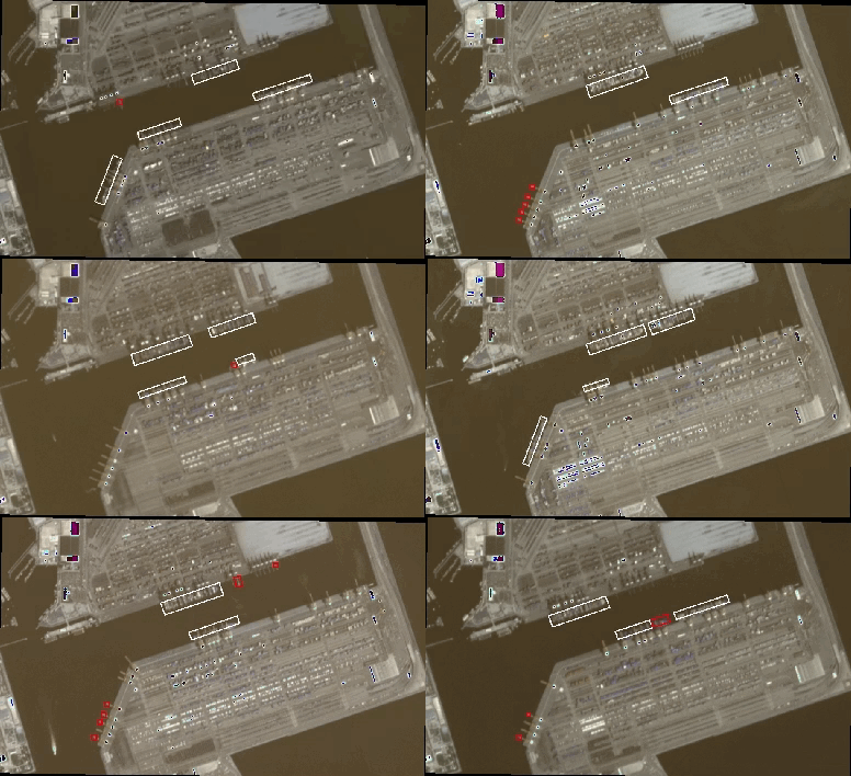
Where landscapes change and humans move there is value.
Capturing that value has often been left to those who have intrinsic knowledge of an industry. But with the growth of the internet of things, remote sensing and cloud computing, the geospatial sector is now in a position to weigh-in. Once geospatial companies would have been keen to use remote sensing tools to map static things like topographic features. We can now harness an incredible data flow from satellites in low earth orbit to map the dynamism of our changing landscapes.
Spatial Finance
Spatial finance is a growing concept which links our geographies to financial practice. The recent interest in how geospatial data can help uncover signal for increasingly large amounts of data might seem curious and somewhat obvious to digital geographers. However, the geospatial or GIS sector has been beset with poor external communications, meaning that the rest of commercial-land is just discovering what we have known for years: that location is a great tool for joining data.
Of course, Spatial Finance is very much more than just joining data. It is about the extraction of signal from society’s noise, then turning that signal into actionable insight. That insight could inform policy, measure risk, or identify market opportunities. To extract that signal, a great deal needs to be known about the insight’s target, say “shipping,” and the insight’s source, say “remote sensing.”

The difficulty here lies in the fact that these skill-sets rarely converge. More-so they rarely co-exist in an environment where there is a general expectation of scalable cloud computing. The power of a financial insight is not in studying a single event but in understanding that event through time. To adequately undertake this kind of activity, a team must be well-versed in managing “firehoses” of data.
At Sparkgeo, we have been working with our partners in the BC Digital Super Cluster on our Prescient.Earth technology. This effort is built on the idea of using geospatial data to seed forward-looking analysis. The geospatial community has typically studied “what did happen”, given our access to data and machine learning capabilities, we really should be looking at what might happen. this is what we have been calling prescient computing.
Prescient components
Prescient is a series of components. We know that domain expertise is essential for the creation of meaningful financial analytics. Therefore, as a geospatial company, we need to build our technology following our clients’ needs, not necessarily what we think they need!
With that in mind, we have built components for ingestion, analysis-ready data, analysis-inference, training data and serving.
INGEST The indexing and publication of open and/or proprietary geospatial data using emerging cloud-native geospatial best practices – STAC & COG – We can transform legacy data into modern machine indexable catalogues.
ANALYSIS READY DATA The normalization of different imagery sources in readiness for robust data fusion. This is a pre-requisite for any robust, future-looking imagery analysis technology – We can bring different imagery sources together. Sounds easy; surprisingly hard!
ANALYSIS-INFERENCE The deployment of custom imagery analysis and machine learning (ML) algorithms against the normalized data catalogues – We can deploy custom algorithms against custom data stacks to create signals of change.
TRAINING DATA The development of data labelling environments using desktop and web-based tools for application with ML algorithm – We can create and exploit training data around which to train ML algorithms.
SERVING The provision of high-performance geospatial products using standard published formats – We can serve very large amounts of geospatial data to commercial customers (imagery, elevation, vectors)
Whereas geospatial technology has always had a relation to finance, the notion of Spatial Finance and its relationship to highly scalable workflows is a new and compelling market sector. New markets will mean new questions to ask and new products with which to ask those questions. We feel Prescient.Earth is well equipped to start that discussion with our changing landscape.
To find out more, give me a shout!

