
Artificial Intelligence
Build for the Future
AI is reshaping how geospatial intelligence is generated, operationalized, and embedded into decisions. Sparkgeo helps organizations navigate the complex world of artificial intelligence, helping modernize systems to increase time-to-insight and create operational efficiency.

Trustworthy Systems that Work in the Real World
AI is evolving quickly, but most organizations are still working through how these tools fit into existing systems, data pipelines, and operational workflows. We help teams think through the practical side of that transition, from preparing geospatial data for AI workflows to modernizing infrastructure for scalable analytics, foundation models, and operational intelligence.
What we help organizations do
- Reduce manual analysis and monitoring workflows
- Accelerate insight generation from geospatial data
- Detect anomalies and changes across large areas
- Improve operational visibility and decision-making
- Integrate AI into existing systems and workflows
- Build reliable, production-ready geospatial applications
Outcomes we focus on
- Faster time-to-insight from geospatial and EO data
- Reduced manual review and processing effort
- Scalable monitoring across remote or distributed assets
- More reliable analytics and operational reporting
- Lower operational risk through standardized workflows
- Systems designed for long-term maintainability and growth
Prescient: your data, your way

The foundation for everything you build with Sparkgeo
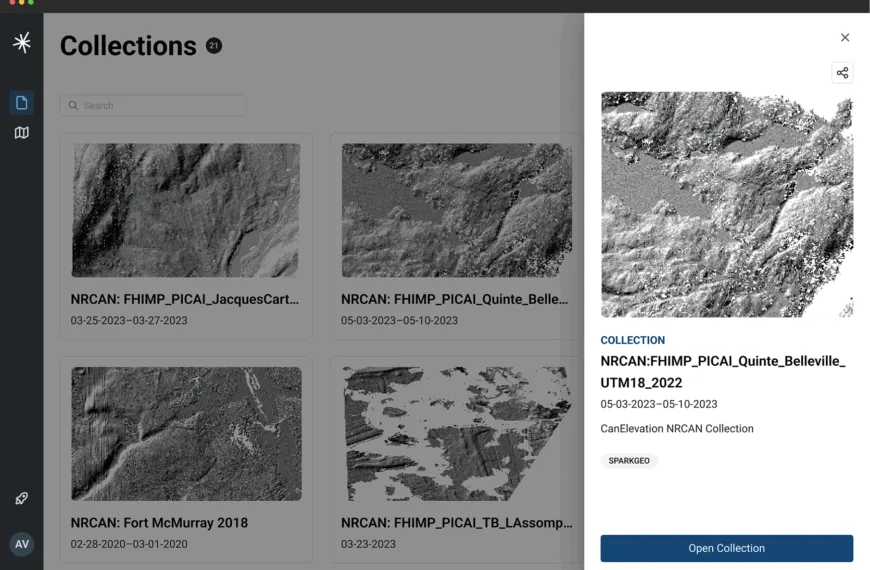
Prescient is the operational data layer behind Sparkgeo’s geospatial products, analytics, and applications. Designed as a cloud-native geospatial infrastructure platform, Prescient ingests, organizes, processes, and delivers location-based data at scale.

Technology Solutions
We combine cloud-native geospatial systems, analytics, and applied AI into production-ready solutions designed to scale beyond demos and proof-of-concepts. Whether you’re trying to reduce manual imagery review, accelerate time-to-insight, monitor change across large geographic areas, or operationalize satellite and sensor data, Sparkgeo builds AI workflows that integrate into existing operations and deliver measurable outcomes.
Geospatial Foundation Models
Build AI-ready geospatial systems that support multimodal Earth Observation workflows, scalable analytics, and modern spatial applications.
Embeddings & Vector Search
Enable semantic geospatial search and AI-native discovery using embeddings, vectorized datasets, and multimodal retrieval workflows.
AI-Ready GeoDataOps
Operationalize geospatial data pipelines with cloud-native infrastructure designed for scalable AI for EO and continuous analytics workflows.
GeoAI & Computer Vision
Apply AI and computer vision to automate geospatial analysis, detect patterns, and generate operational insight from imagery and spatial data.
Operational GeoAI Apps
Deliver AI-enabled geospatial intelligence through intuitive applications, dashboards, copilots, and decision-support systems.
Trusted AI Infrastructure
Build explainable, governed, and operationally reliable AI systems with modern geospatial infrastructure and standards-based architectures.
The GeoAI UK Outlook
Insights shaping the future of operational GeoAI
Created in collaboration with industry leaders across AI, Earth Observation, government, and infrastructure, The GeoAI UK Outlook explores how organizations are preparing geospatial systems for the next generation of AI-enabled workflows.



Let’s Start the Conversation

Every project starts with a bit of clarity. Whether you’re exploring options, or working through a specific challenge, we’re here to offer practical advice to help you build for success.