Geospatial Trend Report March 2022
The uses and applications of geospatial and location-based technologies are evolving at a rapid pace. Every quarter, Sparkgeo CEO Will Cadell, will highlight some of the trends we are seeing, and the potential impacts and opportunities for our industry, our communities and our planet.
Firstly, our hearts are breaking as we see the destruction of buildings and lives in Ukraine. Most startling for me has been the manner in which the Russian invasion has played out on social media making it impossible for the rest of our global community to ignore. Of course, we see the frequent sharing of earth observation and geospatial products in this stream of data. Clearly, the notion of situational awareness has been a central use case of mapping for centuries, even millennia.
It seems extremely disingenuous to talk about trends in modern geospatial technology against this backdrop of both personal and international tragedy. However, it also seems macabre to talk about the uses of geospatial technology in this conflict. Instead, I wanted to very briefly reflect on supply chains.
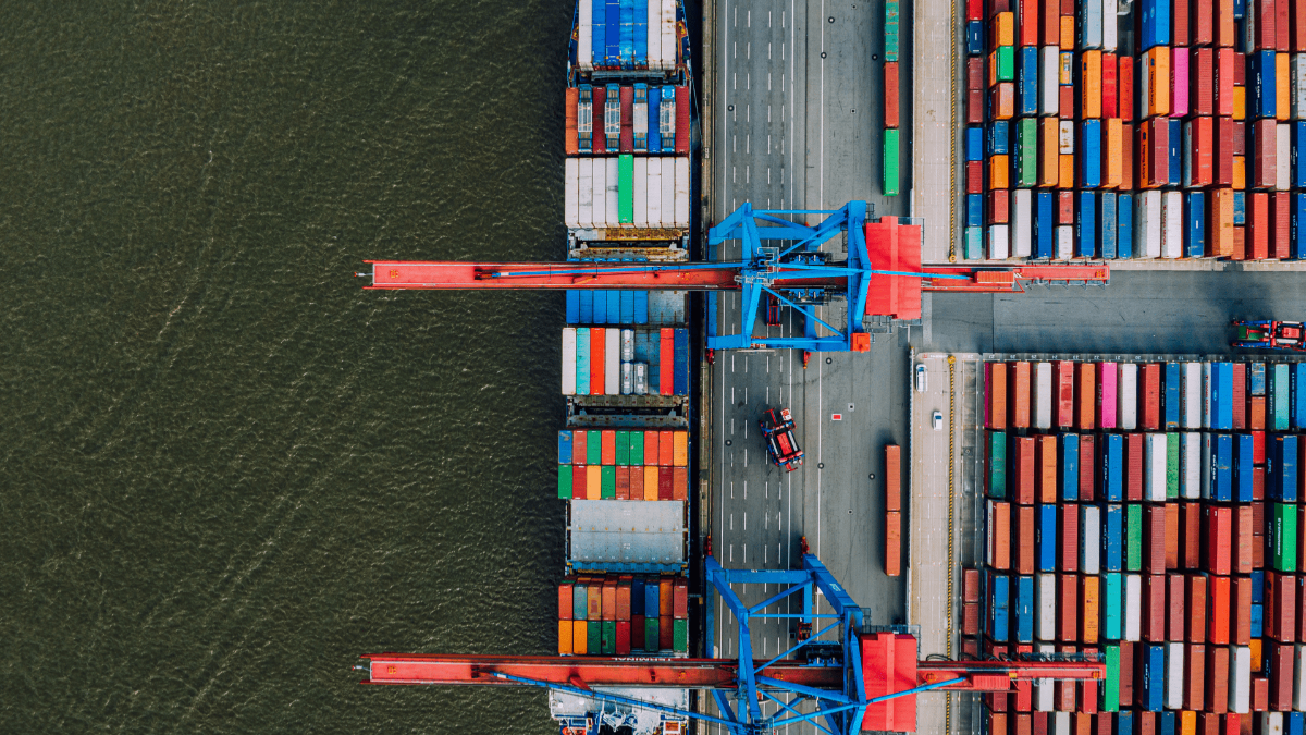
Supply Chain Disruptions & The Relevance of Geography
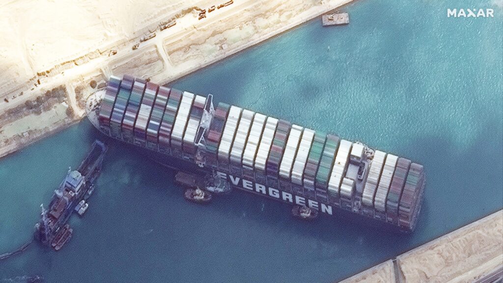
Over the last year, we have seen numerous supply chain disruptions. From global pandemics shutting down manufacturing facilities to blockages in the Suez to climate-related catastrophes, and now we see conflict-related disruptions. It is worth noting that our previous reliance on the labour and resource arbitrage of globalization appears riskier and more fragile than we thought. This is less of a concern in knowledge work, but we must ensure that the bits we are moving are only those we want to move. That is just a gentle reminder to think about whom we work with and what might be done with our work.
In considering supply chains, geography can be relevant in so many ways. These might include economic indicator monitoring, supply chain risk assessment, logistics and routing.
Economic Indicator Monitoring
With economic indicator monitoring, we are using earth observation technology to count containers, vessels and human activities to try and capture market trends.
Supply Chain Risk Assessment
Supply chain risk assessment could mean anything from freshwater availability to wild-fire management to flooding risks. Supply chains for different businesses are increasingly complex, but they often return to physical risks to assets.
Logistics
Indeed, the notion of asset-scale analysis is absolutely pivotal to the discussion. Is your asset a building, a container, a field, a highway?
Adequate Routing of Goods
Finally, the adequate routing of goods is a common though increasingly complex application. Being able to route goods is one concern, but can they be re-routed in the event of increasingly frequent, unforeseen events?
Conclusion
Geospatial is everywhere, I have talked about that a lot. So, this is an opportunity to be conscious of where geospatial knowledge can be a force multiplier for good or otherwise.
Want to learn more about how geospatial technology could change your industry? Contact us today at [email protected], or follow us on social media. We have our most active conversations around everything geospatial on Twitter and LinkedIn. Or stay up to date with our company on Facebook or Instagram.