Update With CartoDB via PostGIS
I had made the assumption that CartoDB was all about data delivery. Much like the deprecated Google Maps Engine, I had assumed CartoDB’s value was really in fast data rendering and distribution.
I had made the assumption that CartoDB was all about data delivery. Much like the deprecated Google Maps Engine, I had assumed CartoDB’s value was really in fast data rendering and distribution.

A trail map is seemingly so simple. But, to create a really ‘good’ trail map we need to consider a few key things: 1) Seasonality – your map needs to tell the story of the adventure in hand. For instance a skiing or showshoeing trail should feel cold and wintery. In this case we needed […]

Today, Sparkgeo became a CartoDB certified partner. As a celebration we built an awesome cartodb powered trail map! Yay!

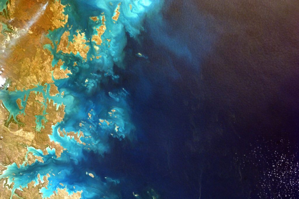
Scale has taken on a completely new meaning for me. In my training and early career, scale referred to a conversion measurement indicating a comparison between a measurement on a paper map and a measurement in the real world. The big ‘thing’ about GIS was that it was scale-less; you could zoom in as much […]

Google Maps have been with us since February 2005, virtually a decade ago as I write this (expect a party on Feb 8th 2015). From their acquisitions of Where 2 Technologies and Keyhole, Google ignited a cartographic web revolution. Yes, of course there were maps on the internet pre-Google Maps, but Google brought the web […]

Analytics are a great tool for monitoring and reporting on website traffic and user interactions. It is reasonablely expected that, as a web developer I will use analytics to better understand my users and deliver them with incrementally improving services and experiences. At Sparkgeo we build web maps. We have been doing this for half a […]

Dustin Sampson (@gridcell), one of our geospatial developers presented the core ideas behind tracking slippy map analytics at FOSS4G in September (2014, Portland). Check out his presentation here >>> Presentation Description Google Analytics is a great tool for monitoring and reporting on website traffic and user interactions but what it doesnt tell you is that […]

This is a quick note on how to map images in a directory purely from their exif files. An exif file is one which contains the meta data of the image. If the image was taken by a phone of GPS enabled camera, then a location will also be contained within that file. To read […]

Data driven pages allow you to easily create multi-paged map books from one map file that are consistent in appearance. It will definitely make your life easier if you have to break up an area into multiple maps for better viewing of data. For instance, 1:20k maps along a 500km corridor feature, such as a river or pipeline, or 1:10k maps covering a whole municipality.

It is not uncommon for raster data to be large and unruly. Creating tiles is one way to deal with these large datasets and speed up rendering. This post introduces a few handy tools for dealing with raster data while walking through the process of combining multiple raster files to create tiles for a super-overlay […]