Companies partner with us to make sense of location. We help them with geospatial analytics, expert insights, and custom software development.
Thanks for checking out our news. We’re pretty excited about what’s happening in our world, and we’re pretty sure it overlaps with a lot of yours. And, like you, this blue planet is our home so we’re also working really hard to identify ways that geospatial mapping can support initiatives to protect our planet.

Global Possibilities in Location-Based Data Analysis From Canadian Tech Company
Global possibilities in location-based data analysis from Canadian tech company

Could Technologies Have Helped Prevent The B.C. Floods?
Location-based technologies can/could improve future response to natural disasters in BC

Conversations That Matter
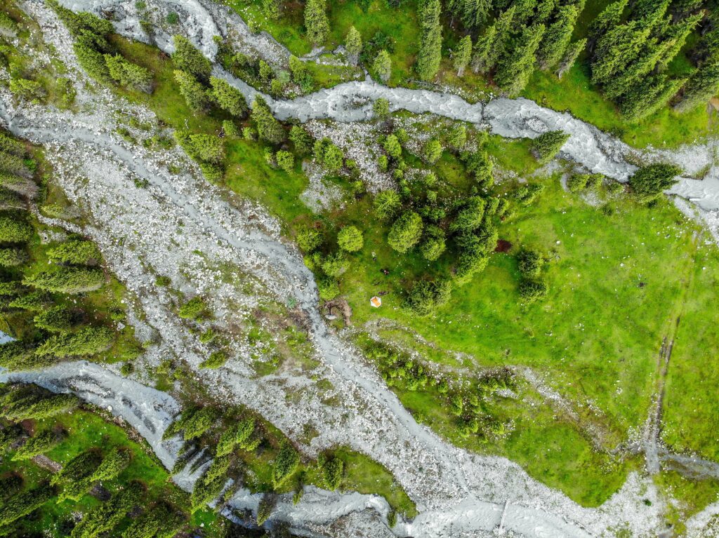
Sparkgeo merges reams of data with satellite imagery to take mapping to a new dimension.

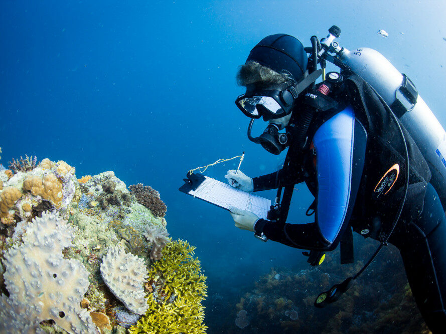
MERMAID: coral reef health monitoring
Sparkgeo partners on a 2.0 solution to track and monitor the effects of climate change.
For more information about us, or any questions please email:


