Making Maps

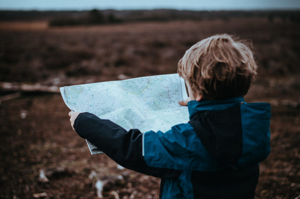
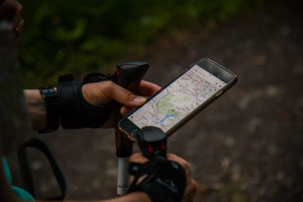
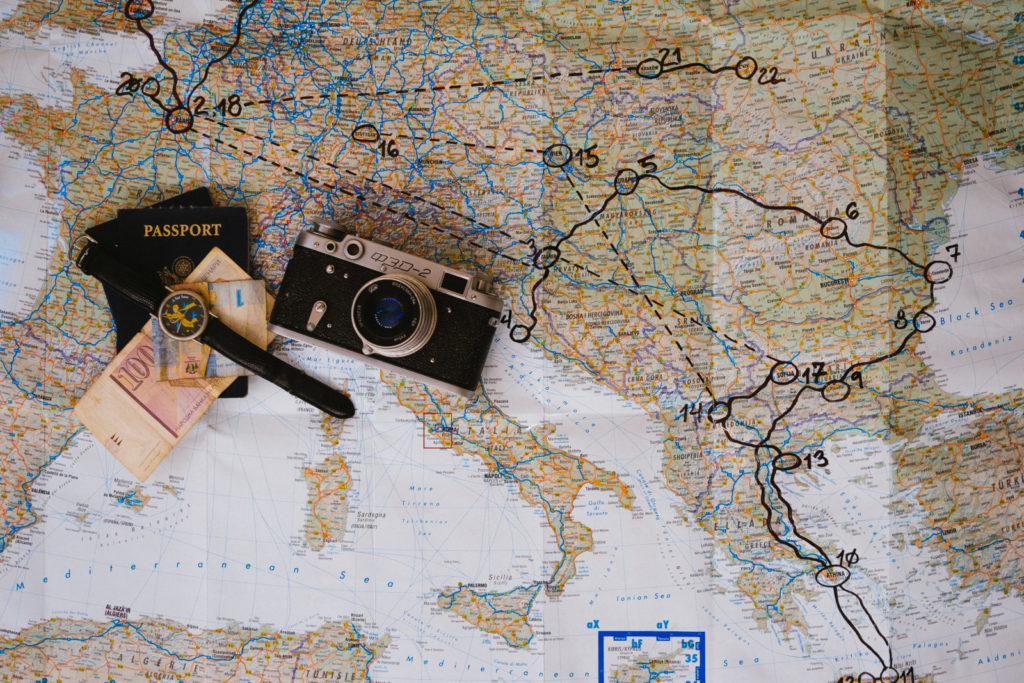
Maps are used everyday. We use them for navigation; we use them for planning; we use them for visualizing and comparing places. We take them largely for granted. More so we take their content for granted. “Well, of course it’s right…!?” The thing is, the world is always changing, and often maps don’t keep up. […]

StartUpDrinksPG

I love #startupdrinkspg. Shauna Harper and I started startupdrinksPG, on a whim 6 months ago. Its a simple concept, a meetup concerned with technology and business with drinks. There is no sponsorship, there is no pretense and there is no adgenda. Noone is selling anything and its a great opportunity to throw out an idea and […]

HTML5, Google Maps, and Focus

This guide will indicate a few ways to help the user focus more on the story you are telling them. A key benefit of the Google Maps API is the depth of informational content that is available immediately. Without a doubt the imagery is both compelling and often beautiful. However this is also a great problem in that it is easy for a user to get distracted into looking at the background imagery or terrain rather than concentrating on the content of your map, your story.

Displaying Big Data with Leaflet.js

Earlier in this series we pulled together a PostGIS database of US Census Polygons and displayed them on a Google Map. To do this we used the mighty Mapnik via node.js by using the node-mapnik connector. This tutorial will show you a way of displaying all those […]

Display Big Data with Google Maps

Displaying Big Data On A Google Map There are two key features of web mapping. The first is that the interface is resources constrained: it is a browser. The second is that generally you are expected to be able to drive as much data and functionality to that browser as you would expect on […]

Geographic Storytelling Resources

Many stories include places: stories of holidays, stories of adventure, stories of science. Maps are a great way to share stories, but often technology can be a barrier because making maps can be pretty awkward. Especially if yoiur not comfortable writing code, or have a ready steady hand. Thankfully […]

Google Maps Labelling

Labels, a mapping element well used in the GIS / cartography community which is surprisingly little used in the geoweb community. They can add a great deal of explanation to the mapping interface. Instead of explicitly explaining each point, it is done for me on the map. Nice! There is no real default option […]