Turning Down the Noise with Nearblack

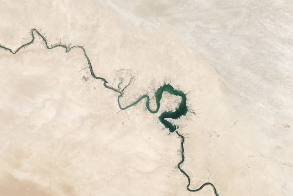
What’s all the racket? These little artifacts along the edge of the data look like they should be considered nodata however they show up despite setting the nodata to be transparent. Turns out these cells are slightly off-white and were likely introduced during JPEG compression. This can happen with both 0 (black) and 255 (white) nodata values.

Data Driven Pages: Making Multi-paged Map Books Since 10.0

Data driven pages allow you to easily create multi-paged map books from one map file that are consistent in appearance. It will definitely make your life easier if you have to break up an area into multiple maps for better viewing of data. For instance, 1:20k maps along a 500km corridor feature, such as a river or pipeline, or 1:10k maps covering a whole municipality.

Canadian Open Data Summit 2014

I’m heading to beautiful Vancouver this evening to attend the Canadian Open data Summit Tomorrow! I’m very excited to be able to give a lighting talk about open data and how we can make it even better! Disparate Data, Technology Fiefdoms (and 65 pictures of your cat) Up in the frozen wastes of the North, […]

Step Up Your Raster Handling Skills

It is not uncommon for raster data to be large and unruly. Creating tiles is one way to deal with these large datasets and speed up rendering. This post introduces a few handy tools for dealing with raster data while walking through the process of combining multiple raster files to create tiles for a super-overlay […]

Just Listen

In consulting you really have only one thing: the ability to identify problems. Sure, you may be a UI rockstar or have some mad statistics skills, and perhaps thats why you think your clients call you. Without being able to tease out the real problem, however you will likely not satisfy your clients demands […]

Win a Sparkgeo T-Shirt

We are giving away a sweet Sparkgeo t-shirt! You can win it in one of four ways: 1) sign up for our newsletter in the footer of this page- or -2) like the sparkgeo facebook page and share the t-shirt competition post- or -3) follow the sparkgeo linkedin page and share the most recent t-shirt update- or […]

Dissecting a Web Mapping Application

When talking with clients there is always a turning point in my mind where their request turns from being a “Google Map” to being a “web mapping application”. It is usually where data is being filtered, updataed, or when ‘users’ are mentioned. This a pivotal point where the project both gets more interesting, a lot […]

Building a US Census Tracts PostGIS Database

This article shows how you (yes, you!) can build your very own US Census Tracts PostGIS database. I had looked over the interwebs for some time under the false assumption that someone, somewhere would have already done this, but it seems not. So this article documents my process. I am running a mac, so some […]