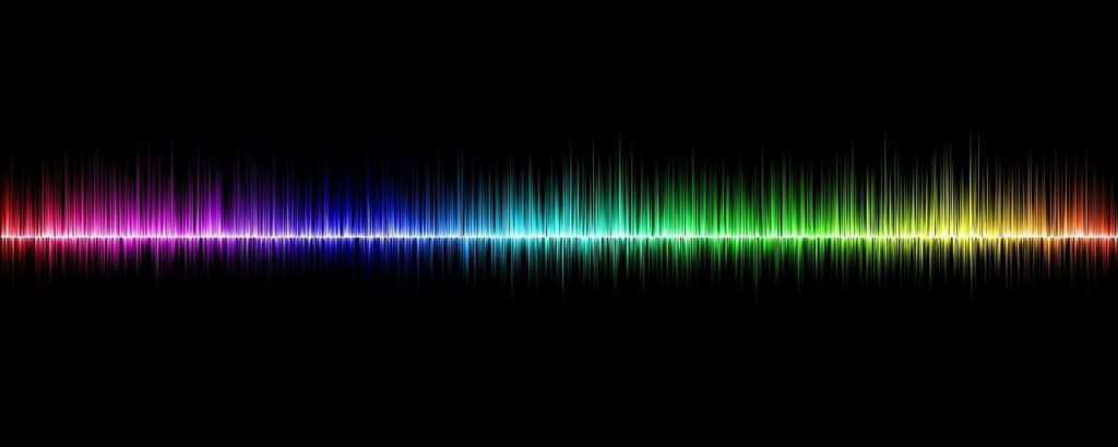
Map-to-Speech: A Method for Making Web Maps More Accessible
In a world where geospatial technology continues to evolve, we try to place ourselves at the intersection of innovation and inclusivity. We often imagine a map as a visual guide, but there are opportunities to make this information more accessible to everyone, including those with visual impairments. Today, we explore the concept of map-to-speech technology, …
Map-to-Speech: A Method for Making Web Maps More Accessible Read More »