climate change

global, warming, climate-3371528.jpg

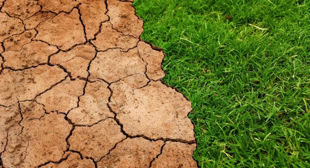
Mapping Drought from Space – Part 1

2023 has been a landmark year for extreme weather around the world. Globally, there’s been deadly tropical cyclones and hurricanes, devastating floods, deadly cold snaps, record breaking ocean heat, and more. Here in Canada, a combination of severe heat waves and scarce precipitation have led to the worst wildfire season on record. Over 18.5 million …

Mapping Drought from Space – Part 1 Read More »

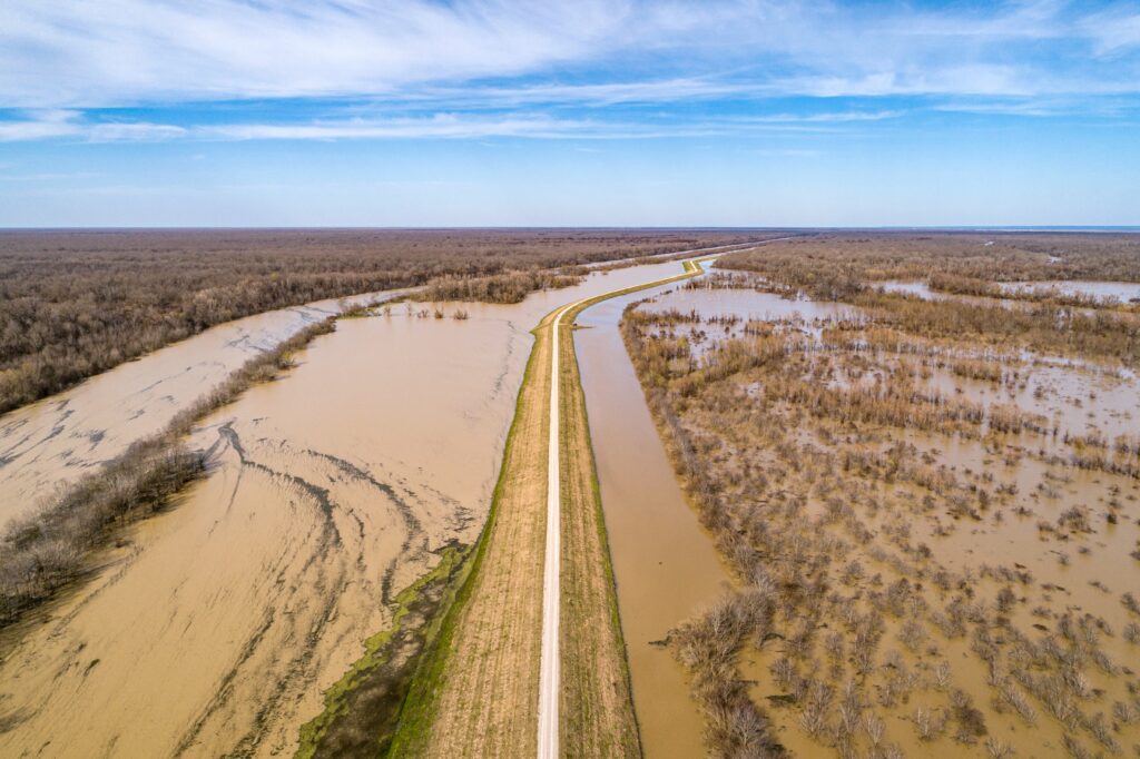
Geospatial Technology for Flood Monitoring

Time-lapse of the November 14 atmospheric river event, acquired by the GOES-17 satellite On November 14, southern British Columbia experienced the devastating effects of an “atmospheric river” – a narrow band of enhanced water vapour transport that flooded the Fraser River basin. This atmospheric river event broke 20 rainfall records across British Columbia. The city …

Geospatial Technology for Flood Monitoring Read More »