Geospatial Technology for Flood Monitoring
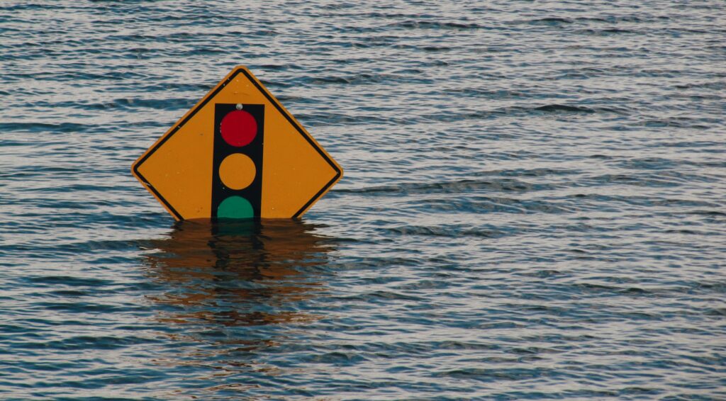
Time-lapse of the November 14 atmospheric river event, acquired by the GOES-17 satellite On November 14, southern British Columbia experienced the devastating effects of an “atmospheric river” – a narrow band of enhanced water vapour transport that flooded the Fraser River basin. This atmospheric river event broke 20 rainfall records across British Columbia. The city …