Wildfires and Flood Damage
A data-backed research project examining linkages between the wildfires and subsequent flood damages that occurred in BC, 2021.
A data-backed research project examining linkages between the wildfires and subsequent flood damages that occurred in BC, 2021.
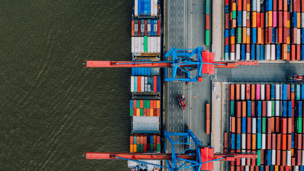
Geospatial Trend Report March 2022 – Will discusses recent supply chain disruptions and how geospatial plays a role in increasing the reliability of our global supply chain infrastructure.
FOSS FMV FTW: A tutorial on how to accurately map video onto a map, using open source software and standards (STAC & STAC API, Mapbox, MapLibre).
Complimentary assets have built a new market for geographers. We are, quite literally, not in Kansas anymore.
Scale is one of the most interesting words in digital geography. What happens when we apply it to to our planet?
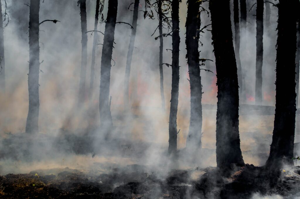
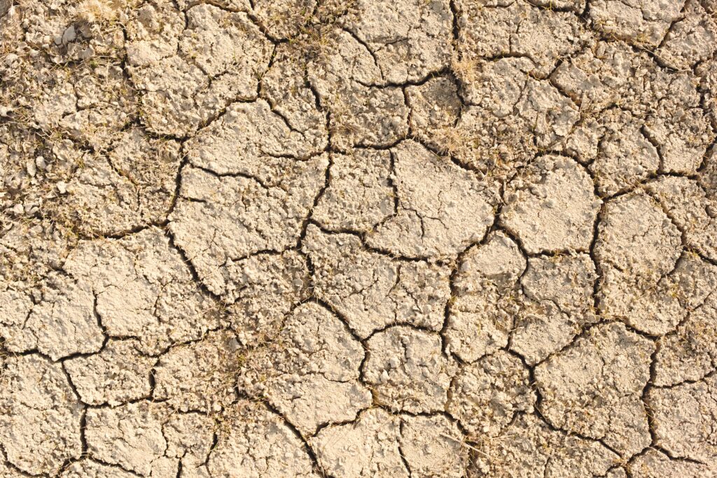
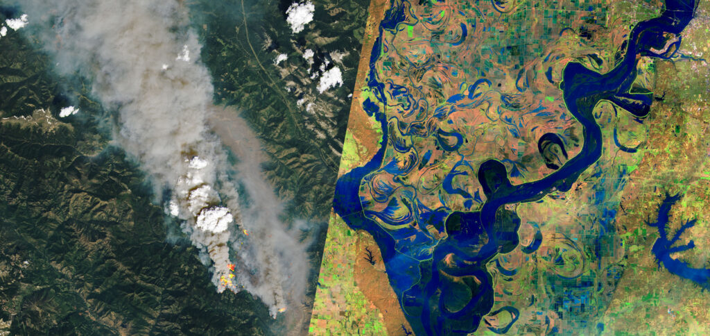
Using geospatial data, the Sparkgeo team showcases with high confidence the linkage between wildfires and increased water hazards.

As a geospatial developer, a lot of what I do revolves around describing the physical world in a digital way. There are many ways to do this. Consider a city: a country-scale map may distill a city into a single point. We might represent the same city as a polygon delineating the city limits. Further …
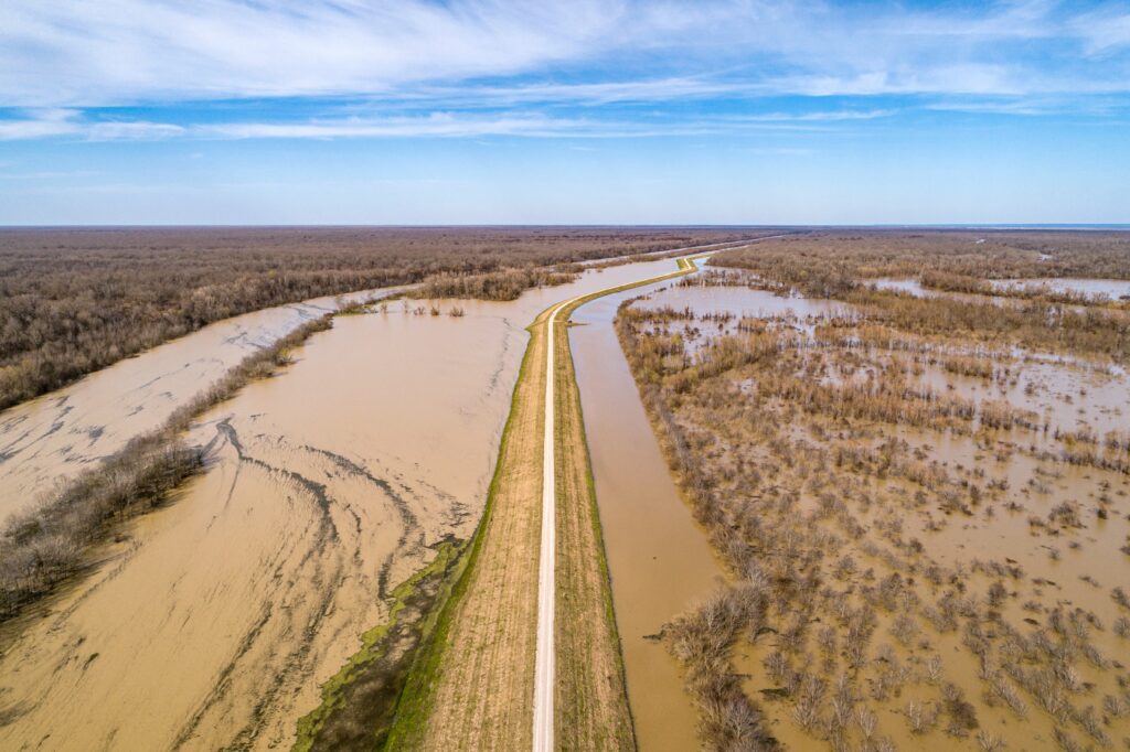
The recent flooding in British Columbia is a harsh reminder that climate change is not a hypothetical scenario that lies somewhere in the future; its effects are being felt right now. Unfortunately, events like these floods and the devastating heat dome this summer are likely to become more common and more pronounced in the future. …

If you are creating a Mapbox GL map using React, there may come a time when you want to be able to trigger Redux or other actions from within said popup. If you’re not using react-map-gl, this article is for you. If you’re looking for spoilers, see this codepen for a full implementation. What sets …